Meet Report: 7-9 July 2017.
The Ullswater Way with Knobs On
Following Storm Desmond’s extensive and destructive flooding throughout Ullswater during December 2015, the local communities developed a low level 20-mile circular walk, The Ullswater Way as part of a regeneration scheme. A higher level version of this Way was chosen for the Club’s 2017 Long Walk. It follows much of the skyline ridges on either side of Ullswater and clocks up around 32 miles and 7,000 feet of ascent. High Street and Helvellyn were included. Several alternatives incorporating the original route or parts of the expanded route and use of steamer or bus services were offered for members preferring more reasonable outings.
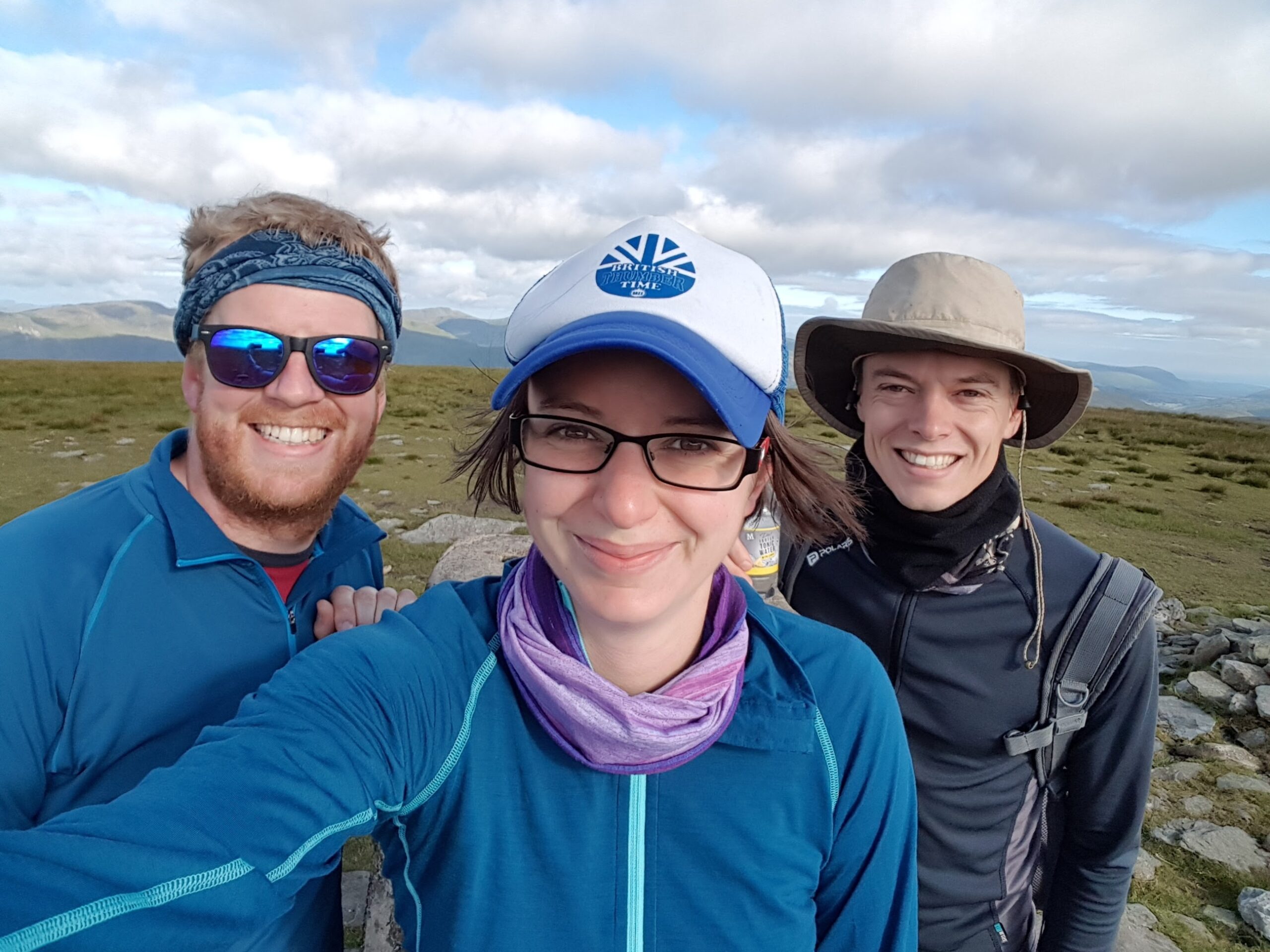
Friday evening all sixteen assembling in Patterdale at the George Starkey Hut. This Association of British Members of the Swiss Alpine Club hut is now jointly operated with the Alpine Club. Some of those arriving had managed some warm-up exercise on the way including Dovedale for the Priest’s cave, Hayeswater via Beckstones and Hayeswater Gill, and a round of Hutton Roof and the Lancaster canal. The weather was showery and windy but better was promised for the morrow.
Saturday breakfast was simple and self-service as individuals roused themselves and prepared to depart: porridge or cereal, tea and toast. The day dawned dry and windy on the first two starters already passing Angle Tarn’s wild campers at 05.15 am.
Most followed them onto High Street over the next four hours: three taking the whole route, though many sensibly caught the bus back from Pooley Bridge to Patterdale. Two followed a clockwise route skirting Sheffield Pike and over Gowbarrow to Pooley Bridge. To justify the meet’s inclusion of “The Ullswater Way” in its title, a lone Rambler completed the original route. The weather improved a little over the day to give plenty of sunshine and a little less wind; near ideal walking conditions. A few returned reddened to Patterdale and their sunburn took three days to subside.
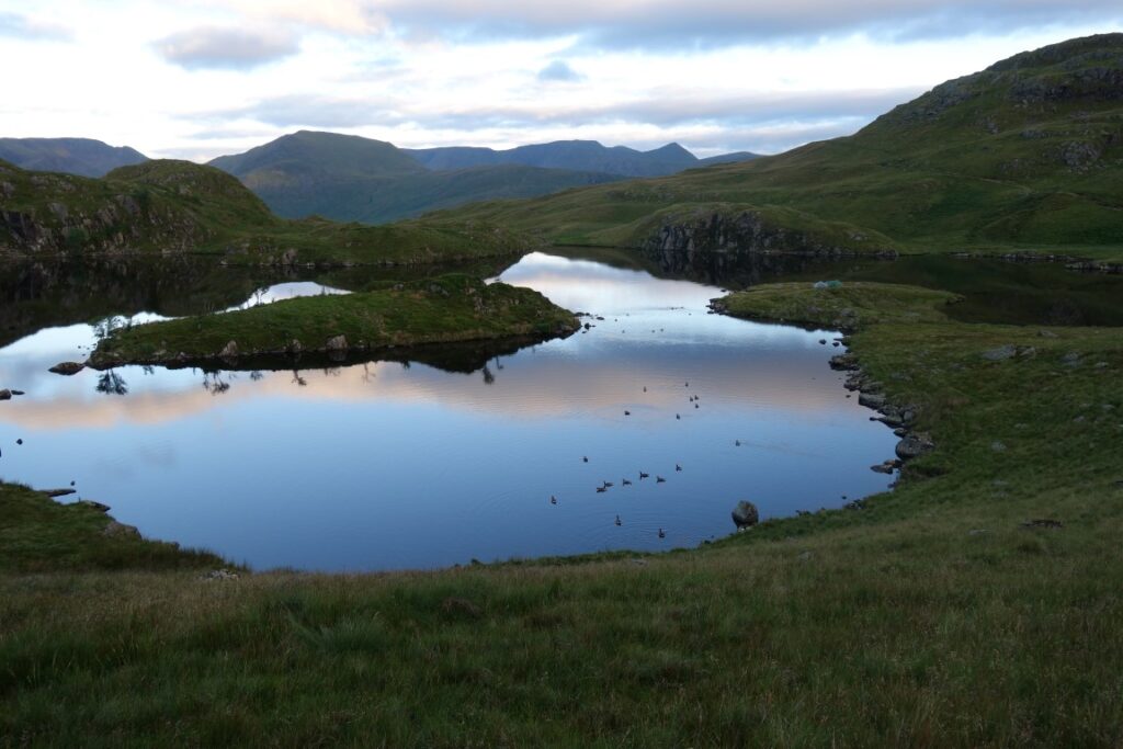
The designated route conveniently started with a right turn from the hut’s front door and in a few hundred metres was on the fell path up to Boredale Hause past Angle Tarn, Satura Crag and up the Knott to reach the Roman road called High Street.
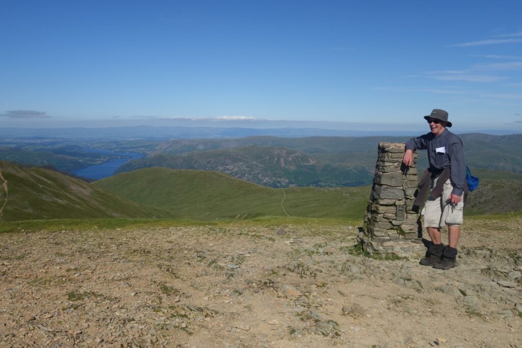
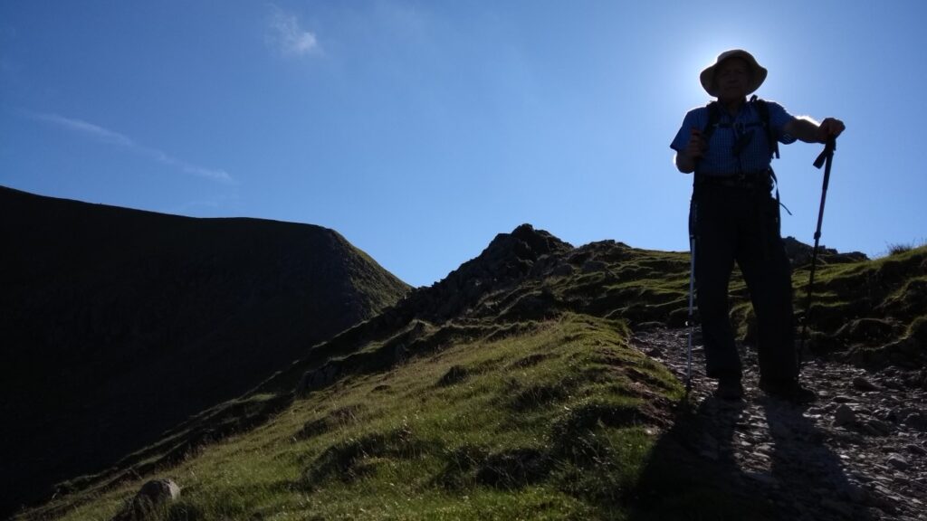
A right turn here took the purists and masochists almost a mile out south to the High Street trig point and back. Most turned left instead, heading roughly north past High Raise, Wether Hill, Loadpot Hill and above a small stone circle. The route then crossed grassy Arthur’s Pike north east to the 30m diameter stone circle of The Cockpit, then descending northwest to Pooley Bridge. In place of a traditional feeding point, Granny Dowbekin’s Tea Room provided sustenance. The next section followed the Ullswater Way proper as far as Gowbarrow, passing through Waterfoot caravan park, through fields by Maiden Castle to Bennethead below Little Mell Fell and into the pine forest leading to Swinburn’s Park. Leaving the official Way the route went over Gowbarrow Fell and descended to Dockray where The Royal provided welcome cold refreshment. Initially less clearly the route headed southwest across the slopes of Watermillock Common and west contouring gently up and across the head of Glencoyne to emerge above the Sticks Pass path. Tired legs then started the first of three ascents: to Sticks Pass then south for Raise, Whiteside and Helvellyn’s trig point, the final summit.
before descending one of Swirral Edge or Striding Edge to the Hole in the Wall.
That Hole is gone and has been replaced with a stile. The 3km seemingly interminable eastward descent into Grisedale left only a kilometre of road to the hut, boots-off and a welcome tea and beer.
For the record, this table lists who did what and when:
| Party | Start | Finish | Miles | Notes |
| RS, FS, DB | 0540 | 2000 | 33 | High Street trig point, Pooley Bridge (1 hour 2nd breakfast), Helvellyn, Striding Edge. RS added in Sheffield Pike. |
| TJ, MS | 0420 | 1930 | 32 | The Knott on High Street, Pooley Bridge (20 min 2nd breakfast), Helvellyn, Swirral Edge |
| RJ, BW, EW, NW | 0830 | 1700 | 14 | The Knott on High Street, added Bonscale Pike and Arthur’s Pike on the way to Pooley Bridge |
| AK | 0630 | 1730 | 24 | Ullswater Way but including the Cockpit and Gowbarrow Fell summit |
| JH, CH | 0800 | 1600 | 14 | The Knott on High Street and the long ridge north to Pooley Bridge |
| PD, DH | 0800 | 1700 | 16 | Clockwise going over the shoulder of Sheffield Pike, over Gowbarrow to Pooley Bridge |
| MB, JS | 0830 | 1700 | 16 | High Street trig point and the long ridge down to Pooley Bridge (added Helvellyn on Sunday) |
However, the above data do not adequately describe the meet. Long Walks are exceptional meets. There is a greater sense of common purpose than on most other British meets. Some walkers are determined to finish what they started, others to maintain performance despite the passing years, some to go further than they usually walk. No atmosphere of raw competitiveness but, as one attendee put it, comradely support and encouragement.
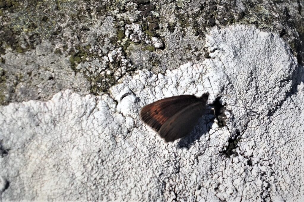
There’s also more to the weekend than the walking. Ascending towards High Street, two fox were spotted scampering about on the lower slopes while higher up were thirty deer and many young northern wheatears fluttering along. More flutterers were the several mountain ringlets seen at Rampsgill Head, only found on certain Lake District summits and in the Scottish highlands.
Several ravens were seen, buzzards and a possible distant osprey. The Lake District is the only place in England and Wales where the bird can be seen. A deer was seen behind the Patterdale Hotel and a colony of house martins above Glenridding demonstrated their supreme flying agility. Stone circles and the Roman Road were added attractions. Pooley Bridge was very busy by the middle of the day as some crossed the replacement metal bridge over the Eamont. Later, our Honorary Member Alan Hinkes, fresh from the YHA AGM in London, called in on Saturday evening to check on our progress and chat over recent developments in Yorkshire brewing. There was also a short planning meeting for the forthcoming meet in Wyoming and much discussion of the autumn meet near Cader Idris. Such catching up with old friends, getting to know newcomers and looking forward to future meets is a large part of the “glue” that holds the Club together and makes meets so companionable.
The meet was catered by Michael with food preparation by Jim and Christine in his absence. Returning after so long out walking, appetites were sharpened and large quantities of chilli con carne with baked potatoes, sour cream and cob loaves were soon despatched. The earlier finishers’ visit to the White Lion meant they were ready to eat as the last to return came in so we were all able to eat together; unusual for a Long Walk.
The only other user of the building was an AC member, the AC have recently joined the ABMSAC in running this hut. That Lancastrian though did not sleep in the hut so we generally had the place to ourselves and could spread out our gear.
The route choice with several alternatives of different lengths proved attractive in drawing in more attenders than many recent Long Walks. Those routes covered some of the less familiar parts of the valley and the “highlights” of a couple of well-known peaks. The only part of the route considered overly busy was between Pooley Bridge and Gowbarrow Fell on the official Way.
Long Walk Sundays often see rather less activity than usual and more blisters and creaking joints. Breakfast was a more leisurely affair with bacon sandwiches and a slower start. Tim, who was not planning on walking, offered to clean up after the meet and others were soon away. Despite lower cloud, groups were heading up Dovedale from Brothers Water, to follow the Tees from Barnard Castle and back from Clotherstone, and, by Ullswater to Scalehow Force and back via Silver Crag then to the National Trust’s Townend. Two took mountain bikes to Grisedale Forest for a red route. Splitting the Long Walk’s main objectives over two days, two members walked to Helvellyn via Lanty’s Tarn and Striding Edge returning via Greenside mine and looking at the leat system that used to provide hydroelectric power to the mine to drive the crushing equipment.
While this meet was in progress UNESCO awarded the Lake District World Heritage status citing the area’s natural beauty, farmed landscape and cultural inspiration. On the meet, we experienced something of the stunning landscapes that contributed to that decision. Perhaps we are so familiar with it that we risk taking it for granted. It will be interesting to see what, if any, changes its new status will make to the Lake District. The several bodies involved in the bid believe each one-percent increase in visitors would bring an annual £20 million to the local economy. Not many of them are likely to complete the Ullswater Way with knobs on.
Attending:
Mick Borroff, Paul Dover, Jim Harrison, Christine Harrison (G), Dorothy Heaton, Richard Josephy, Tim Josephy, Alan Kay, Michael Smith, Richard Smith, Fiona Smith (PM), David Booker (PM), John Sutcliffe, Nick Welch, Edd Welch (G), Ben Welch (G),
Leave a Reply